Contact me
Please let me know about any problems you find on the site—thanks!
I am now retired and no longer take on freelance work.
Terrain, maps, and more
This site started out as a resource for cartographers creating shaded relief, panoramas, land cover, and related raster art on maps. It has since grown to include my other cartographic interests and has become a repository for my maps, all of which are in the public domain.
I hope that you enjoy the site.
New stuff
Last update: July 15, 2025


Kalaupapa National Historical Park
A 3D map of the Kalaupapa Peninsula on the north shore of Moloka‘i, Hawaii. A steep trail is the only visitor access to the isolated park. The sea cliffs adjacent to the park are the highest on Earth, rising over 3,000 feet (900 meters).
Austral Earth - The World Turned Upside Down
World maps do not have to be north-oriented. This is a special version of the Equal Earth map centered on Oceania (150E) and flipped upside down. Everything that was once familiar is now unfamiliar.
The tropical seas, reefs, and islands of SE Asia, at the crossroads of the Indian and Pacific oceans, host the greatest marine biological diversity on Earth. Use this map to better understand the complex geography of this region.
Circumpolar North Physical Map
Explore the seas, islands, and frozen lands at the top of the world. The map includes Arctic Ocean bathymetry, land cover, shaded relief, rivers, lakes, and thousands of physical feature labels.
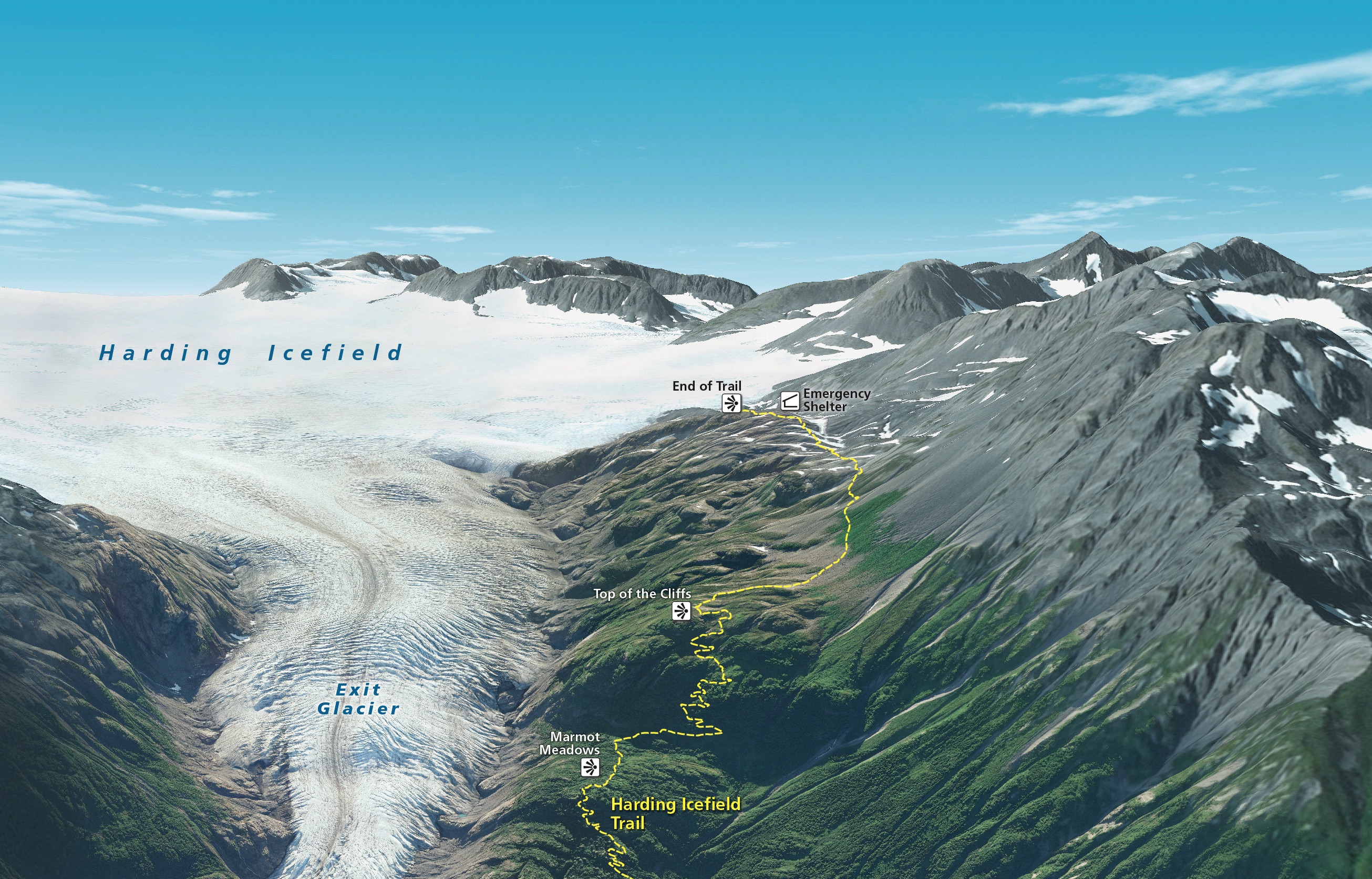
A 1:100,000-scale reference map showcasing terrain, bathymetry, reefs, and places of interest. The shaded relief, rendered in Eduard, derives from recent DEMs offering complete coverage of the precipitous interior mountains.
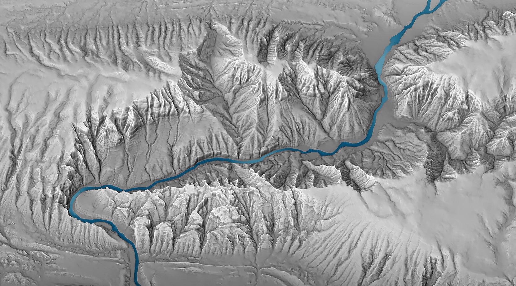
Shaded Relief